After getting the word from my specialist that there was nothing major wrong with my knee I headed off on what was to be a simple SOTA activation at North Hells Gate.
 |
| Wrong track from side road |
Well it looked simple on Google Earth anyway.
Drive along the road until about 1 km from the summit and then walk the last bit on the track. What Google doesn’t show, because its under the cloud, is that there is no track to the summit. The track stops about 500 metres short. On my way in I took the wrong track too and found dense bush about 400 metres in and then didn’t get a break until the top. On the way out I followed the remains of a track from the top until it too finished in dense bush. I’m sure that some time back there was a good fire line track up the hill but the 2009 fires and subsequent regrowth has seen it disappear leaving dense bush made up of small trees about 30 mm in diameter spaced about 200 mm apart. Just enough to squeeze through with a pack on your back.
 |
| Correct track from main road |
As I often do, I had my GPS receiver with me and I had loaded a waypoint for the summit and I just kept heading for it. Progress through the dense bush was slow taking about 20 minutes to travel just 100 metres. I was relying solely on the GPS to show me where to go as the bush was so thick at times I couldn’t see which way was up or down. I’d turn around took see where I had come from and could not see where I had been. The only time I made good progress was when I found a fallen tree that I could walk along. It wasn’t much but it was easier then pushing through thick grasses and stepping over fallen trees.
 |
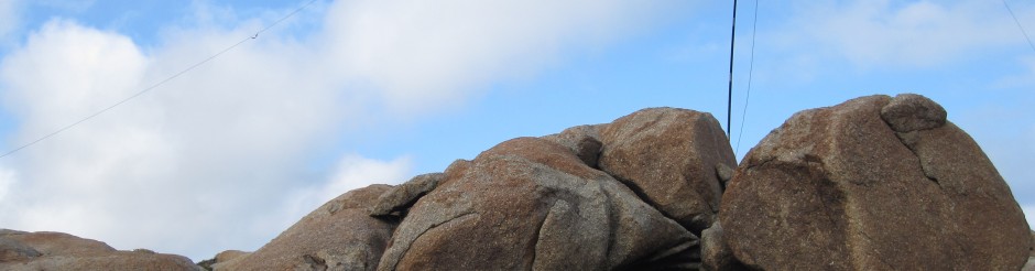
| GPS on rocks below |
Near the top I found a rocky outcrop that offered a view across the valley to the north so I stopped to take photo or two. Earlier however had looped the GPS through the breast strap of my backpack and tucked it into my jacket so I had both hands free. When I stopped to take the photos I also took my pack off and, forgetting I had the GPS looped in the strap, it fell out of my jacket, bounced on the rock I was standing on and then bounced off the edge and fell about 5 metres to a rock ledge with some growth below. My immediate thoughts were “Now I’m in a world of trouble as I was relying on the GPS to guide me back to my car.” I had a magnetic compass with me but the GPS was needed to make it easier. I climbed down to where the GPS lay face down expecting to find a broken screen. To my surprise and relief it was undamaged. It still worked 100%.
Sometimes I can be lucky.
 |
| 2m and HF antenna on squid pole |
From the rock ledge it was a short climb to the top. On top there are only one or two small trees that have taken root in the rock. I strapped my squid pole to one and and put up my linked dipole for HF and also my 1/2 wave coaxial dipole for 2 metres. These two antennas fit nicely on the top of the pole. I was on air about 10 minutes later than planned. Not too bad really considering that I had left home about an hour ahead of schedule. Contacts came easy on 40 metres with many of the regular chasers in the log early. After seven QSOs on 40 metres I went down to 80 metres and spoke with two stations who had followed me there. I then gave 2 metres SSB a try. A couple of local stations answered but nothing fantastic.
A quick revisit to 40 metres got a few latecomers and then it was pack up and head into the bush.
 |
| Operating position |
I followed the remains of a track for about 300 metres and then found myself in the dense bush again. I followed my GPS and surprisingly found the top of a well formed gravel road. I knew this wasn’t the track I had started on but it was much easier going than the bush and was heading in roughly the right direction so I followed it. The track came out at the the main road where I had thought about parking earlier in the day. From here it was about 600 metres to walk back to the car.
So at the end of the trip I had scratches on my arms from pushing through the bush, another SOTA in the log and good reason to always take two navigation devices when hiking. I’m also going to look more when the clouds on Google hide the terrain underneath.
73
Pingback: Four summits in one day | VK3ZPF Ham Radio Blog