 |
| Mt Despair Rd |
Today I had offered to drive my son and his fiancee up the the Rover Scout event Mudbash. Always keen to work in a bit of radio somewhere in a trip to the country I chose SOTA summit Mt Despair, VK3/VN-013. Wayne, VK3WAM, had activated this summit a couple of weeks earlier and had walked a fair distance to get to the top. Wayne enjoys walking, but for me the shortest way in is the best.
Since I was approaching from the north I thought I would have a look at Mt Despair from the north and see if it was accessible. First I tried the intersection of Murrindindi Rd and Mt Despair Rd, -37.3877 145.5506 but found an overgrown track and a locked gate. Then I looked at a small track off Marginal Rd, -37.3940 145.5392, but it too was a locked track.
 |
| Mt Despair summit |
I then went clockwise around the base of the hill, following Murrindindi Rd to Kalatha Rd, -37.4661, 145.5680, where the gate was open. I followed Kalatha Rd, past where Wayne had walked from, hoping to find my way to the south end of Mt Despair Rd. The track was getting worse and one deep puddle made me change my mind and turn around and go back out. I then doubled back around anti-clockwise to Marginal Rd and continued south on Marginal Rd to Horse Yard Creek Rd, -37.4172, 145.5282. Taking Horse Yard Rd on the left I followed it up, and up, to the junction with Mt Despair Rd, -37.4484 145.5407. The road was OK in my RAV4 with a bit of clearance but I wouldn’t want to try it in a normal sedan.
 |
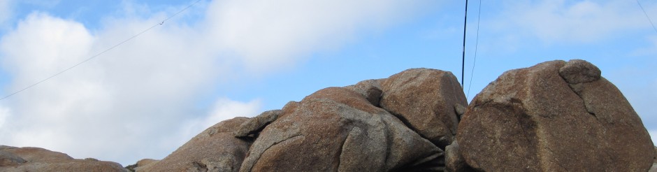
| Incoming storm |
At the junction of Mt Despair Rd and Horse Yard Rd there are a couple of open gates with a sign stating they will be locked for seasonal road closures from the Thursday after Queen’s Birthday weekend. That would be next Thursday. How lucky am I. I drove through the open gate, which Wayne had found closed two weeks earlier, and I was able to drive to the top of Mt Despair. After driving to the summit I drove 1 km back down the track, out of the activation zone, and parked. I loaded up my pack and headed back up on foot. At the summit I threw a rope over a branch and hoisted my three band switched dipole up about 5 metres. I ran the legs out and tied off quickly. There was rain coming from the west and I was keen to get four QSOs to qualify the summit and move on before the rain.
 |
| Antenna hanging in a tree |
First to answer my call was Peter VK3PF who posted a spot on soatwatch.org. Being a Friday afternoon there was not the usual dog pile but I did manage to work five of the usual chasers before packing up in the light rain and walking back down to the car.
I took an easier route out following Mt Despair Rd south until it met Kalatha Rd. Following Kalatha Rd then turned right on to Silva Creek Rd to Myers Creek Rd. From here I headed South back to Healesville.
73